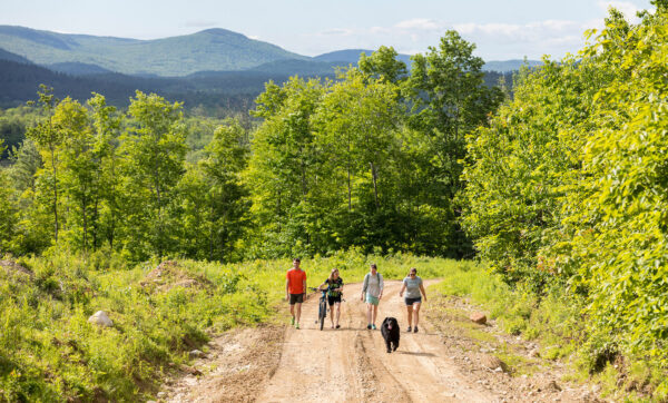
Tracking Changes Across the Northern Forest
The Center tracks regional trends and changes that inform its programmatic work, including changes in ownership of the forestland in the region.
We recently commissioned Sewall Forestry and Natural Resource Consulting of Old Town, Maine, to create maps showing the amount of the region’s forestland that has been converted to non-forest uses and how land ownership has changed over the past twenty years.
The map below shows forest loss in the Northeast since these data were last analyzed. In the span of 13 years, from 2006 to 2019, the Northern Forest lost 16,600 acres to non-forest uses. The southern regions of Maine, New Hampshire, Vermont, and New York experienced a much greater loss of 28,400 acres during the same timeframe.
“While forestland loss across the Northern Forest has been modest at the scale of the overall landscape, local communities see and feel this loss acutely,” said Joe Short, vice president of the Center. ” As we deal with climate change and rising development pressures, these patterns highlight the need for proactive planning at the community level to keep the forest landscape intact.”

Forestland Ownership Patterns
Until 40 years ago, large corporate landowners with local mills producing lumber and paper owned the majority of the Northern Forest landscape. But the pressures of a global economy and rising land values in the 1980s brought drastic changes, prompting these companies to sell their land holdings and exposing vast tracks of forestland to potential development for the first time. The three maps below illustrate a large change in land ownership from 1995 to 2022, showing how land shifted from major corporate owners (primarily paper companies) and manufacturers to forest investors and private conservation organizations.
“What’s striking about these data is the change we see almost every decade for the last 30 years,” said Julie Renaud Evans, program director for the Center. “Prior to that, landownership was completely stable for 150 years. The trend of changing landownership represents a drastic change that affects communities, the economy, and access to the land.”


Today, only 7% of land in the Northern Forest is owned by wood product companies or corporations, and these are located primarily in Northern Maine. These data show that 36% of the Northern Forest is now owned by non-industrial private landowners, a category that has traditionally referred to smaller landholdings. In the last 15 years, very large family ownerships have emerged in this category, with 10,000- to 100,000-acre ownerships, especially in Maine. Almost 20% is owned by timber investment management organizations (TIMOs) and real estate investment trusts (REITs) and this number is continuing to increase.
Looking Ahead
“This complex, ever-changing mosaic is one of the defining aspects of the Northern Forest,” said Evans. “With every new ownership comes differing motivations and priorities for forest management and use. When you consider the challenges related to climate change — including invasive species, demand for clean water, and development pressure from climate migrants — it’s essential that we develop strong regional understanding, coordination, and communication to ensure that the region’s forests remain healthy, intact, and capable of supporting ecological and societal needs into the future.”